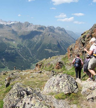
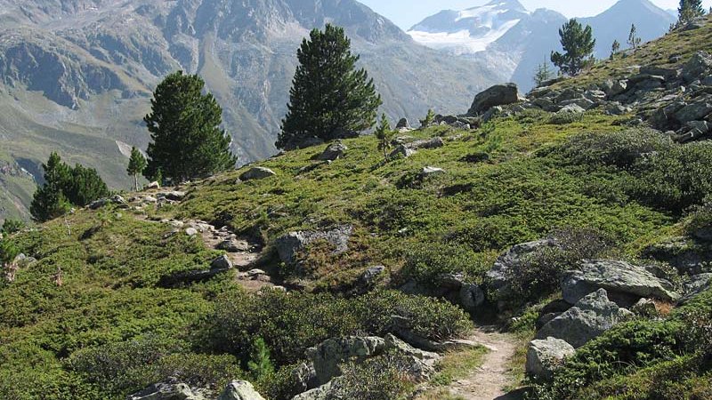
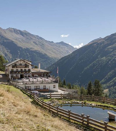
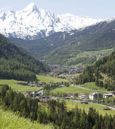
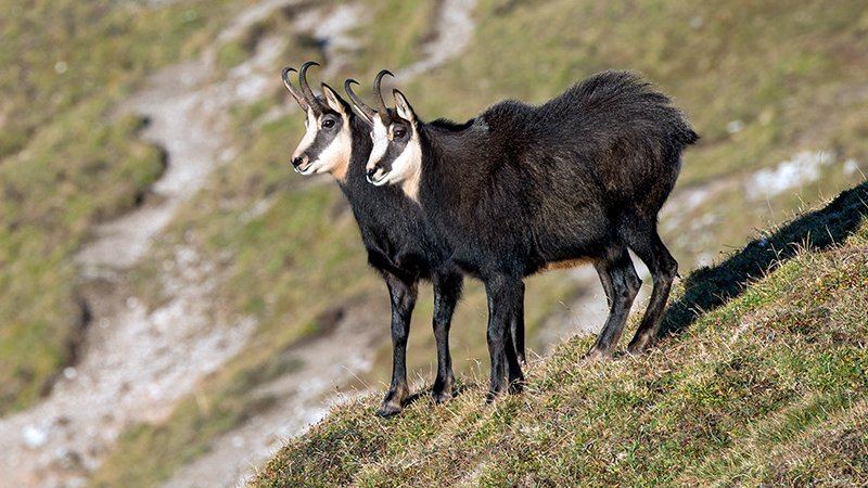
This trail allows one an insight into the difficult struggle that animals and plants have to survive in the Alps. The interpretive trail leads one for the most part, along the forest boundary in the transition zone between sub-alpine forest and lower alpine dwarf shrub which forms the understory of the high alpine ecosystem.


High alpine nature trail in Sölden
Trail description - Section 1
Theme: Mountain animals
The interpretive trail “Mountain animals” starts at the Gaislachkogelbahn (cable car) mid-station and leads down to the valley station (2,170 – 1,377 m). The trail starts above the forest boundary and continues through a rocky area bordered by Rhododendren and dwarf schrubs. It leads through fields and meadows for about 1.5 km and then begins a steeper descent through a forest boundary to the Gaislachalm (1,968 m). From here the trail continues over pastured areas and clearings by Sonneck “sunny corner” in the sub-alpine forest. In the higher steeper parts, the undulating forest path to Sölden is dominated by lichen-covered Swiss Pine and Larch forests with many downed trees and is interspersed with Spruce trees. The interpretive signs, which end around 1,650 m, lead you through wide forest swaths and maintained forested areas and eventually down to cultivated land, the valley cable car station, and the lower trailhead.
Walking time: 2 - 2.5 hours
Elevation change: 520 m (800 m to Sölden)
Length: 4.6 km (6.2 km to Sölden)
Trail description - Section 2
Theme: Environmental communities
The trail begins in Hochsölden (2,100 m) and leads through an early snow-free southeast slope slightly above the actual forest boundary to Rettenbachalm (2,145 m). After crossing the creek, the path gently climbs up the north slope of the Gaislachkogel through rocky terrain and through Wild Rose bushes and Spruce forest to the end point at the cable car mid-station of the Gaislachkogelbahn (2,170 m). The trail runs primarily along the forest boundary in the transition zone between the sub-alpine and the lower alpine dwarf schrub forests. You will find yourself also in the understory of the high alpine ecosystems.
Walking time: 1.5 - 2 hours
Elevation change: ca. 70 m
Length: 5.5 km


